BattleTechWiki:System coordinates/Remote System Coordinates
Sarna News
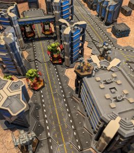
- HEXTECH Review - Wave 3 Brings More Urban Options To Your Battlefield
- Your BattleTech News Round-Up For March, 2024
- Crashing 'Mechs With Jennifer Brozek, Author Of The Rogue Academy Trilogy
- Getting The Word Out With Rem Alternis, Catalyst Community & Marketing Director
- Bad 'Mechs - Yeoman
- Read more →


In a (private) conversation regarding the method for determining the coordinates of a system or systems that was far removed from the Inner Sphere, Sarna Cartographer Volt Ampere clarified:
| “ | If you want to incorporate a new region (like for example the Aurigan Reach area) to an already existing set of coordinates, after extracting the raw coordinates of the items in the new map you'd have to find one of two sets of info:
1) an entry that is common to both maps to make it possible to define the position of the new map relative to the original (base) map, or 2) several data points that would allow you to scale and orient the new map relative to the base. This second part is the challenging one. [An] example of item 1 is when I incorporated the Kerensky Cluster map from Wars of Reaving to the Base map by using the Deep Periphery map from ISP3. I took the center coordinates of the KCluster background border object and used that as the temporary origin, which I oriented on the base map based on its position that I got from the Deep Periphery map. In this example, since the War of Reavings map had its own scale ruler, I applied that (a LY / b px) so I didn't need to do item 2. However, for instances where having a temporary origin won't work, like the Aurigan Reach for example where it doesn't have one region border that can be used, I had to get the coordinates of all the systems that did not appear on the base map, then I took the 5 (it was just my preference for accuracy's sake) nearest systems that did appear on the base map so I could position and scale that new system correctly. Now, the formula for this is so long and layered that I had to create a separate spreadsheet with sample data and broke up the formula into stages just so if I hit my head on something and forget who I was, I'd still be able to retrace just what the hell I was thinking when I made that formula. Oh, and also to help explain just what I did, for when people ask... Basically what the formula does is it takes the coordinates of the system in question and measures the distance against the 5 other systems, and the distance of those 5 systems against each other. Afterward it compares [those] distances in the new map against the distances in the base map in order to establish the correct scale. Once the correct scale is determined it interpolates where the system should appear on the base map. |
” |