File:Calderon Protectorate Map-3079.png
Sarna News
- HEXTECH Review - Wave 3 Brings More Urban Options To Your Battlefield
- Your BattleTech News Round-Up For March, 2024
- Crashing 'Mechs With Jennifer Brozek, Author Of The Rogue Academy Trilogy
- Getting The Word Out With Rem Alternis, Catalyst Community & Marketing Director
- Bad 'Mechs - Yeoman
- Read more →


Size of this preview: 774 × 600 pixels. Other resolutions: 310 × 240 pixels | 1,000 × 775 pixels.
Original file (1,000 × 775 pixels, file size: 117 KB, MIME type: image/png)
Calderon Protectorate Map-3079.png
Information:
Summary
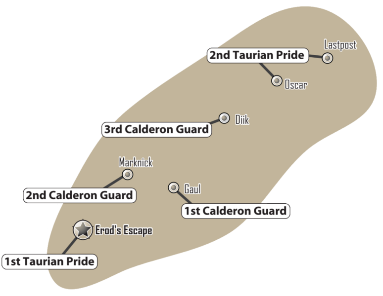
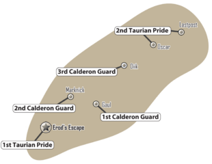
Calderon Protectorate map, ca. 3079
Artist
Øystein Tvedten
Source
Field Report: Periphery (2011), p. 21
Licensing
 This work is copyrighted. The individual who uploaded this work and first used it in an article, and subsequent persons who place it into articles assert that this qualifies as fair use of the material under United States copyright law.
- Note: This image has been cropped to highlight the Calderon Protectorate.
File history
Click on a date/time to view the file as it appeared at that time.
Date/Time Thumbnail Dimensions User Comment current 20:15, 12 March 2022 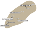
1,000 × 775 (117 KB) Cache (talk | contribs) larger image 05:29, 28 September 2011 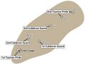
595 × 454 (62 KB) Doneve (talk | contribs) {{Image summary | summary = ''Calderon Protectorate'' Map from 3079 | artist = Øystein Tvedten | source = ''Field Report: Periphery'' | licensing = {{Fair use}} }} * Note: This image has been edited/modified for purposes of highlighting particul
You cannot overwrite this file.
File usage
The following 2 pages use this file:
Metadata
Calderon Protectorate Map-3079.png
| Information: | |
|---|---|
| Summary | Calderon Protectorate map, ca. 3079 |
| Artist | Øystein Tvedten |
| Source | Field Report: Periphery (2011), p. 21 |
| Licensing |
|

- Note: This image has been cropped to highlight the Calderon Protectorate.
Click on a date/time to view the file as it appeared at that time.
| Date/Time | Thumbnail | Dimensions | User | Comment | |
|---|---|---|---|---|---|
| current | 20:15, 12 March 2022 | | 1,000 × 775 (117 KB) | Cache (talk | contribs) | larger image |
| 05:29, 28 September 2011 | 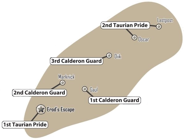 | 595 × 454 (62 KB) | Doneve (talk | contribs) | {{Image summary | summary = ''Calderon Protectorate'' Map from 3079 | artist = Øystein Tvedten | source = ''Field Report: Periphery'' | licensing = {{Fair use}} }} * Note: This image has been edited/modified for purposes of highlighting particul |
You cannot overwrite this file.
The following 2 pages use this file: