Difference between revisions of "File:Old Kentucky.jpg"
Sarna News


({{Image summary | summary = Planetary Map of Old Kentucky | artist = N/A | source = ''Hot Spots'', p. 69 | licensing = {{fair use}} }}) |
(added to summary info) |
||
| Line 1: | Line 1: | ||
{{Image summary | {{Image summary | ||
| − | | summary = | + | | summary = Map of the Fort Belfry/Lexington area of the Dargo continent, [[Old Kentucky]] |
| − | | artist = | + | | artist = |
| − | | source = ''[[Hot Spots]]'', p. 69 | + | | source = ''[[Hot Spots]]'' (1993), p. 69 |
| licensing = {{fair use}} | | licensing = {{fair use}} | ||
}} | }} | ||
Latest revision as of 17:18, 26 January 2020
Old Kentucky.jpg
| Information: | |
|---|---|
| Summary | Map of the Fort Belfry/Lexington area of the Dargo continent, Old Kentucky |
| Artist | Missing artist |
| Source | Hot Spots (1993), p. 69 |
| Licensing |
|

File history
Click on a date/time to view the file as it appeared at that time.
| Date/Time | Thumbnail | Dimensions | User | Comment | |
|---|---|---|---|---|---|
| current | 11:04, 1 July 2012 | 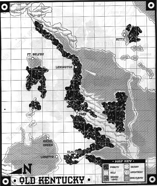 | 541 × 640 (263 KB) | Doneve (talk | contribs) | {{Image summary | summary = Planetary Map of Old Kentucky | artist = N/A | source = ''Hot Spots'', p. 69 | licensing = {{fair use}} }} |
You cannot overwrite this file.
File usage
The following page uses this file: